
OlmoEarth v1.3 makes satellite embeddings available for local analysis

Ai2 announced OlmoEarth v1.3 on October 22, pairing a satellite foundation model with downloadable annual embeddings and a browser explorer. The practical change is that a mapping project can start from features Ai2 has already computed instead of running the full model over raw imagery. The release includes model weights, data and a technical report, but access is governed by a custom license with explicit use restrictions. Ai2’s announcement describes the package.
What the model produces
OlmoEarth is an image feature extractor, not a chatbot that writes answers about a map. Its model card describes a vision transformer processing radar, optical imagery and image sequences from Sentinel 1, Sentinel 2 and Landsat. An additional pooling component combines information before a smaller projection compresses the representation to 128 dimensions. The first 64 dimensions can also serve as a smaller embedding.
Those numbers are reusable input features rather than finished labels such as forest or wheat. A downstream task still needs an interpretation, often supplied by labeled examples and a classifier. The repository provides training and evaluation material, while the public model files include a 785 MB weights file and configuration. The model card does not list a hosted Hugging Face inference provider.
Choose the explorer or the downloadable archive
For a first inspection, the Embeddings Explorer is the simplest advertised route. Ai2 says users can examine similar places, add labeled points, train a small classifier and export a GeoTIFF without an account. Its map can also display the underlying Sentinel 2 imagery. These are announced capabilities, not results from a ByteForward hands on test.
For an existing data pipeline, the Source Cooperative dataset provides public anonymous access through a Zarr store. The vectors describe calendar years at 10 meter resolution. At launch, 2023, 2024 and 2025 have global coverage within the published footprint. Years 2017 through 2022 cover selected countries, not nine complete global maps. Antarctica is excluded.
The archive is designed for selective area reads rather than a full download. Its documentation warns that missing values can mean no embedding was computed, not that land is absent. Before comparing vectors, dequantize the stored integers and use the same dimensional width throughout. An analysis spanning UTM zone boundaries also needs a common projection.
When custom computation is still necessary
The annual archive will not answer every timing question. Ai2’s embedding tutorial describes defining a location and time window, preparing the satellite imagery, then computing and saving features. It recommends a year where appropriate, while noting that shorter windows can suit faster changes. That distinction matters when the question concerns a particular event rather than an entire calendar year.
Do not copy its example configuration and assume it selects the new release. The retrieved tutorial still uses an earlier model identifier and a 768 band output example. Check the current model configuration and expected output before running it. The tutorial also notes that its Landsat retrieval route uses a requester pays bucket, whereas its example can use Sentinel data alone. Downloadable weights do not make every custom data acquisition route cost free.
Read the results at the right scale
The technical report evaluates embeddings and separately evaluates the model as an encoder for other tasks. Those are not interchangeable tests. Its introductory embedding comparison reports the 128 dimensional version leading on 10 of 11 tasks under the stated nearest neighbor classifier setup. That is a research result from the model’s developers, not a guarantee for an unfamiliar region.
The report also describes a tradeoff. Attention pooling helps combine observations, but adding it hurt some evaluations involving a single image or little spatial context. Teams should therefore choose the representation and configuration for their task rather than assume every new component improves every workload.
For a pilot, reserve locations that were not used to label or fit the classifier. Inspect failures against the original imagery and record the year, area and configuration. A colorful similarity map can help decide where to investigate, but it should not be treated as a verified explanation of why a landscape changed. This is an evaluation recommendation, not a claim that ByteForward has tested the model.
The license changes who can use it
The OlmoEarth Artifact License permits use, modification and distribution subject to conditions. It prohibits military and defense applications, human surveillance and policing, and extractive uses such as facilitating mining, drilling or deforestation. Distribution requires credit to Ai2. Artifact redistribution requires the license, while derivatives must retain the stated use restrictions.
This is not an unrestricted permissive software license. The agreement also does not clear every third party right in source materials. A team should check its intended application and downstream distribution before building a dependency on the release.
A more direct starting point for satellite analysis
ByteForward’s Google Earth AI access coverage describes a different approach involving experimental geospatial reasoning access. OlmoEarth’s release instead gives analysts downloadable features and weights to build on. The immediate choice is whether the prepared annual data matches the area and question, or whether a custom imagery workflow is needed.
The most useful contribution is not a claim that mapping has become automatic. It is a clearer separation between expensive feature extraction and the smaller task a particular team needs to solve. Start with a bounded area, check coverage and license fit, and measure the result against information that the model did not supply.
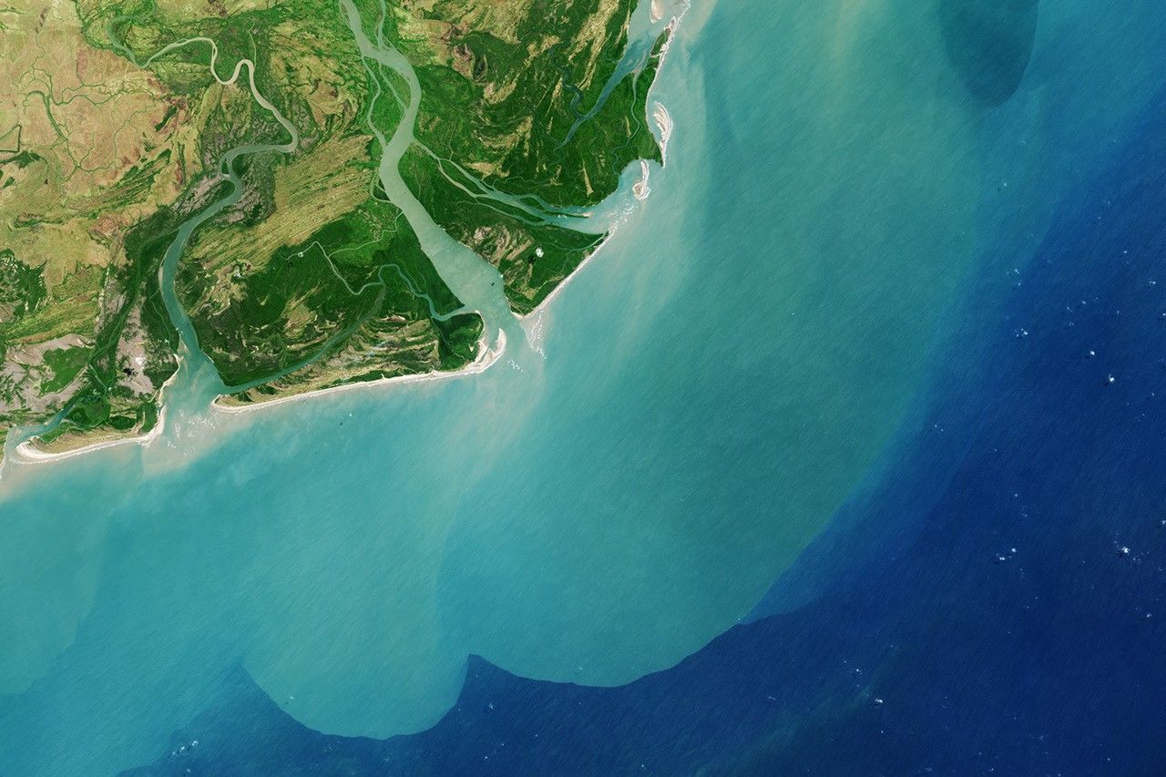
Archival Landsat 8 view of the Zambezi Delta captured August 29, 2013. NASA Earth Observatory image by Robert Simmon using USGS data. This illustrates satellite observation and is not an OlmoEarth output. Image source and NASA media usage guidelines.