
Google expands Earth AI access for geospatial analysis

Google expanded experimental Earth AI access on October 14, opening applications for deeper analysis in Ask Google Earth and a developer service using the Agent to Agent protocol. The change gives interested organizations two ways to explore the company’s geospatial reasoning work, with access still limited to selected early users.
For teams that work with locations, the attraction is a shorter path from a question to an inspectable analysis. The harder question is whether the resulting map or recommendation holds up when someone checks the underlying geography, dates and assumptions.
What the new access offers
The announcement describes an interactive Google Earth experience and a headless A2A service for custom agents and data pipelines. API inputs can include CSV files, GeoJSON boundaries and cloud tables. Results combine text, tables and maps. Google says responses expose the analytical plan and data sources, giving reviewers a way to examine the work.
The official access page invites organizations to express interest in Ask Google Earth, Cloud Workflows or Planetary Prediction Engine. Its demonstrations cover data discovery, custom training and testing data, model evaluation and enterprise integration. These are experimental capabilities offered through a partner application process. An expression of interest is not an immediate account entitlement.
Choose a route according to the work that needs to be reviewed. An analyst investigating a small set of sites may prefer an interactive map. A team trying to insert spatial analysis into an existing application will need to evaluate the developer route and its integration requirements. Neither choice removes the need to establish who approves the result.
The reviewed access materials do not establish a public price, an admission deadline or universal availability. Applicants should ask about supported regions, quotas, data handling and commercial terms before scheduling a production dependency. These are questions to resolve with the program, rather than specifications inferred from its demonstrations.
Start with a question that has a boundary
Google’s Ask Google Earth documentation describes prompts grounded in project features or the current map view. Users can import KML files, select placemarks or polygons and ask about spatial relationships. Results appear in folders on the map. The documentation labels the product experimental and warns that support may be limited and changes may break compatibility.
A useful first question should identify the geographic area, the relevant time period and the calculation that matters. For example, a facilities team could ask which of its candidate buildings fall within a specified distance of public transit. That proposed pilot is easier to check than an open request to identify the best neighborhood.
Distance itself needs a definition. A straight line across a river does not describe the journey to the nearest bridge. Decide whether the task needs a geometric buffer, a road route or a travel time estimate, then check that the chosen operation matches that definition. Keep the input list fixed while comparing results.
The documentation also cautions that vague terms such as large or near can be interpreted arbitrarily. Complex analysis can take longer and may benefit from smaller queries. Those warnings are especially relevant when a request combines several filters that could silently change the meaning of the result.
Inspect the evidence behind the map
The research system loads relevant geospatial skills when needed and keeps large spatial datasets outside the model context. It plans retrieval and processing before calling data tools, then works through that plan.
Review the source record for each important layer. Check when it was collected, what area it covers, which units it uses and whether missing records have been treated as zero. A complete looking map can conceal gaps in a source. A count of mapped facilities is not automatically a count of every facility that exists.
Keep an explicit distinction between an observation and a substitute. If the preferred local measure is unavailable, a broader regional estimate may still be useful for exploration. It should not inherit the apparent precision of a building level map. Record what changed and whether the substitution could alter the ranking or conclusion.
For a concrete acceptance test, choose a small sample that a domain specialist can check independently. Include ordinary cases, boundary cases and at least one place where the input is incomplete. Ask the reviewer to reconstruct the answer from the cited data, rather than simply judge whether the explanation sounds plausible.
This also makes error reporting more productive. If a result is wrong, retain the question, selected area, input version, source links and intermediate outputs that are available. That record helps separate a bad source from an incorrect join or a mistaken interpretation of the request.
What the benchmarks can establish
The supporting technical report was submitted on October 11. It is background to the October 14 access expansion, rather than a paper first released with today’s announcement. The study compares a standalone model, basic tools, geospatial tools and the full agent. It reports that specialized capabilities account for the largest improvement, with orchestration adding value on open analytical tasks.
The limits matter. The comparison covers Gemini models, and the basic tool baseline’s code interpreter lacked network access. GeoKTools was built around operations supported by the agent. Queries requiring unavailable data were excluded, so the results do not establish how reliably it handles genuinely impossible requests.
GeoExpertQueries uses an automated judge to assess work against expert reference workflows. This is not a direct measure of final answer correctness. The report also says some capabilities are lightly tested or not exercised by the benchmarks. A strong score should therefore guide further evaluation rather than settle a deployment decision.
The benchmark repository provides 85 GeoKTools development queries and 25 GeoExpertQueries development queries. It includes reference workflows and scoring tools. Its offline deterministic scorer is an alternative to the report’s exact match and model judge procedure, so teams should record which scoring method they use before comparing results.
For an internal evaluation, report several outcomes separately. Was the right source found? Was the requested calculation performed? Could an expert reproduce it? Did the answer acknowledge uncertainty? A single overall score can hide a failure in the step that matters most to the actual decision.
Prediction requires a separate test
The access page also shows prediction workflows that let users explore candidate datasets, examine feature contributions and compare model performance. These demonstrations describe a broader modeling workflow than asking a question about a map.
If a pilot predicts an outcome, reserve data that was not used to build the model. Consider holding out whole areas or later time periods when those match the intended use. Randomly splitting nearby records may give a misleading impression of performance if neighboring locations share important characteristics.
Compare against a simple baseline that the team already understands. The operational question is whether the added complexity improves decisions enough to justify preparation, review and maintenance. Preserve a way to rerun the evaluation when the underlying data changes.
ByteForward’s coverage of AI Earth observation aboard Altair 1 examines a separate effort to process planetary observations. Its commissioning story also highlights the gap between an announced capability and measured application performance.
A promising tool with a review obligation
The useful next step is a bounded application with a measurable pilot. Describe the area, inputs, intended output and review process before requesting access. Treat preparation time and expert checking as part of the cost, alongside whatever service terms Google ultimately offers.
Earth AI could make spatial analysis easier to initiate and inspect. Its value for a particular organization will depend on whether that convenience survives contact with its own data and decisions. A map worth acting on needs a defensible chain from the original question to the result.
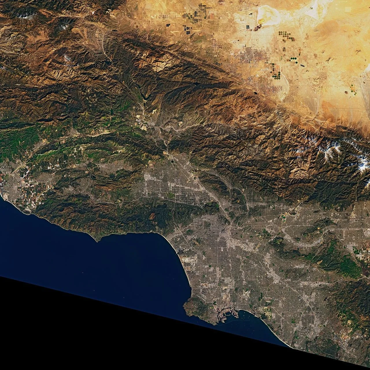
Archival Landsat 9 view of the Los Angeles area captured on February 7, 2022. Image by Joshua Stevens for NASA Earth Observatory, using USGS Landsat data. This satellite image illustrates geospatial data and is not an Earth AI output.